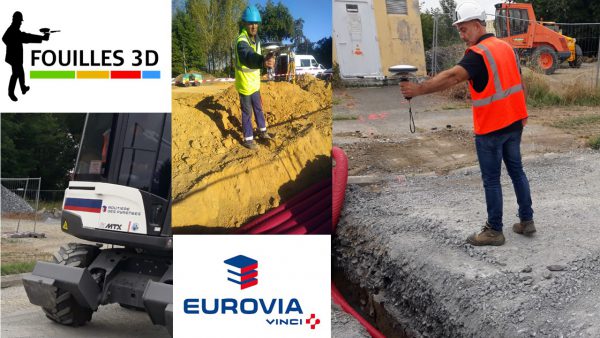
F3D at Eurovia : “I can save 4 days per month”.
Richard LISO, Head of the topography and project unit and innovation referent at Eurovia, Routière des Pyrénées, a subsidiary of Eurovia Midi Pyrénées.
La Routière des Pyrénées is a company specialised in roads and utilities, earthworks, soil treatment, and urban design and development. Eurovia has been using F3D since 2019.
What was your main problem about georeferencing ?
The main issue for public works companies is to provide centimetric georeferencing in order to comply with French regulations. Until now, this was impossible without mobilising a surveyor-topographer on site. This entailed travel costs, as well as the implementation of complex site planning and the monitoring of the survey.
So we needed a simple and versatile solution usable by the field crew. We wanted to make them do the georeferencing themselves. We also wanted to save time for our surveyors so that they could devote more time to the optimisation part of our projects.
The idea came to me to do photogrammetric surveying by using a smartphone coupled with a GPS antenna. During an exhibition, I came into contact with GEOSYSTEMS France, which was already working on a prototype.
How F3D is used by the Routière des Pyrénées and how this solution was received by your teams?
Today, F3D is used on all our sites and was quickly adopted by our teams after a very short training course. In fact, they are asking for the tool as soon as they prepare their sites.
We have taken a further step towards empowering our field crews by acquiring the Zeno Mobile Add-on. Taking advantage of the versatility of the Leica GG04+ GNSS antenna, they can set up and maintain the marking and picketing of existing utility networks. They can transmit the layout file directly to the smartphone’s messaging system.
We are currently in the test phase to ensure the maintenance of existing networks through Augmented Reality.
What are the benefits of using F3D?
The most obvious and quickest benefit is the planning simplification. Our field crews are much more autonomous in their tasks, as they can carry out the layout and georeferencing alone. As a result, our surveyors no longer waste time travelling and we can maintain the quality of the measurements taken with the antenna.
Overall, thanks to F3D, the projects are executed much faster: I can save about 4 days per month !
If you had to summarise the contribution of F3D to your business.
Clearly, this is a solution in line with the most requiring regulations regarding georeferencing accuracy. It was really easy to optimise our processes and make savings, while improving the quality level of our services.
Leave A Comment