Georeferencing and surveying open trench utility networks

F3D meets the requirements of the most demanding regulations, from the georeferencing of utility networks in centimetric accuracy to the drawing of the control plan

In a single operation, a team member surveys utilities​In centimetric accuracy (x,y,z)SafelyWithout ground markingsWithout waiting for the surveyor​
Within 10 minutes, the survey report is sent to the team by e-mail
The surveyor supervises the operations and draws the plan on the online platformStore and download deliverablesVisualize and edit networks in 3DMeasure (distances, volumes)Export (CAD, GIS, PGOC)

An upgradeable kit

The F3D kit components

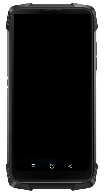
  • A calibrated smartphone, with the F3D app

  • A pole and a support for the antenna and the smartphone

  • A carrying case

The GNSS antenna with centimeter accuracy

  • Multi-constellation (GPS-GLONASS-Galileo-Beidou)

  • Compatible with RTK correction systems


F3D is compatible with many brands of GNSS antennas (Leica Geosystems, Stonex, Geomax, EFIX….) and maybe even with the antennas you use every day. Ask our experts for more information