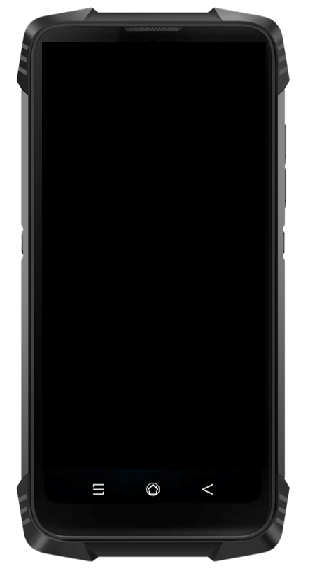
Make F3D more profitable by adding new features!
Add-on Data Capture
This option effectively complements FOUILLES 3D in the field. It provides valuable support for layout and staking tasks, while enabling precise monitoring of operations. Thanks to its compatibility with DXF files and real-time data collection, it simplifies network localization, excavation management, and elevation tracking. It is an ideal tool for surveyors and technicians looking to improve efficiency while ensuring safe and accurate site interventions.


Add-on I2D, the Site Inventory App
The I2D option is designed to structure and enhance field observations. It allows users to collect site photos and customize forms based on the specific context of the project. With this tool, field teams can accurately document site conditions and share the information with other stakeholders.


