F3D
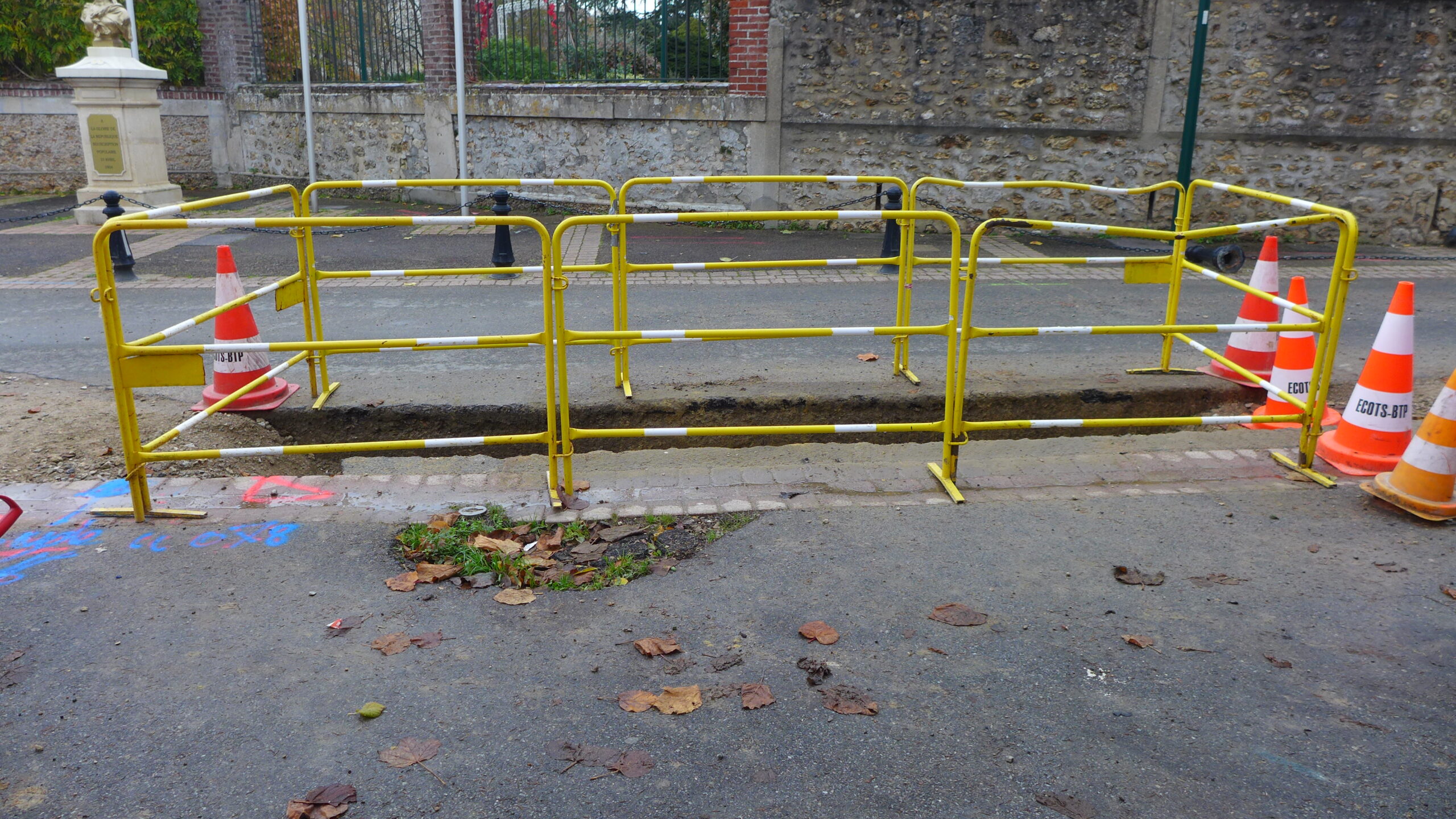
Make open trench utilities georeferencing

Greener
Reduce your carbon footprint by limiting travel

Cheaper
The Surveyor no longer travels to the site

Faster
From field survey to georeferenced deliverable in 20 minutes

Easier
The field crew is autonomous from the earthwork to the repair work.
What is F3D ?
F3D is a comprehensive and versatile solution that carries out utilities survey from the earthwork to the plan. Each step is simplified and automated for maximum efficiency.


Utilities
Georeferencing


Add-on "Data Capture"
Stakeout / Ground marking
Detection / Altimetric control

Add-on "I2D"
The site inventory app


Add-on "Augmented Reality"
Networks visualization


Data management
on the online platform
- Delivarables storage
- Online plan drawing
- Measurments and volumes
- Monitoring and follow up
- Statistic analysis
F3D add-ons
F3D

Digital
Twin
Utilities,
street bodies,
markings...
Our customers

Richard Liso, Head of Topography Unit at Routière des Pyrénées, Eurovia Group
“Reducing the number of trips has reduced our transport costs. With F3D, projects are completed more quickly: we save 4 days a month. »

Thierry Dufour, General Foreman at Soble TP
“Since fall 2020, we have been able to handle the increase in activity with complete peace of mind.”